
The Monfragüe Red Route is one of the most complete hiking trails for discovering the National Park on foot. Starting in Villarreal de San Carlos, the route connects some of Monfragüe’s most iconic places, including Puente del Cardenal, Fuente del Francés, Salto del Gitano and Monfragüe Castle.
The route takes you through very different landscapes in a single day: dehesas, shaded Mediterranean woodland, sunny hillsides, rocky cliffs and some of the best places in the park for birdwatching. The full official route is around 16 kilometres long, takes approximately 5 hours and is classified as moderate difficulty.
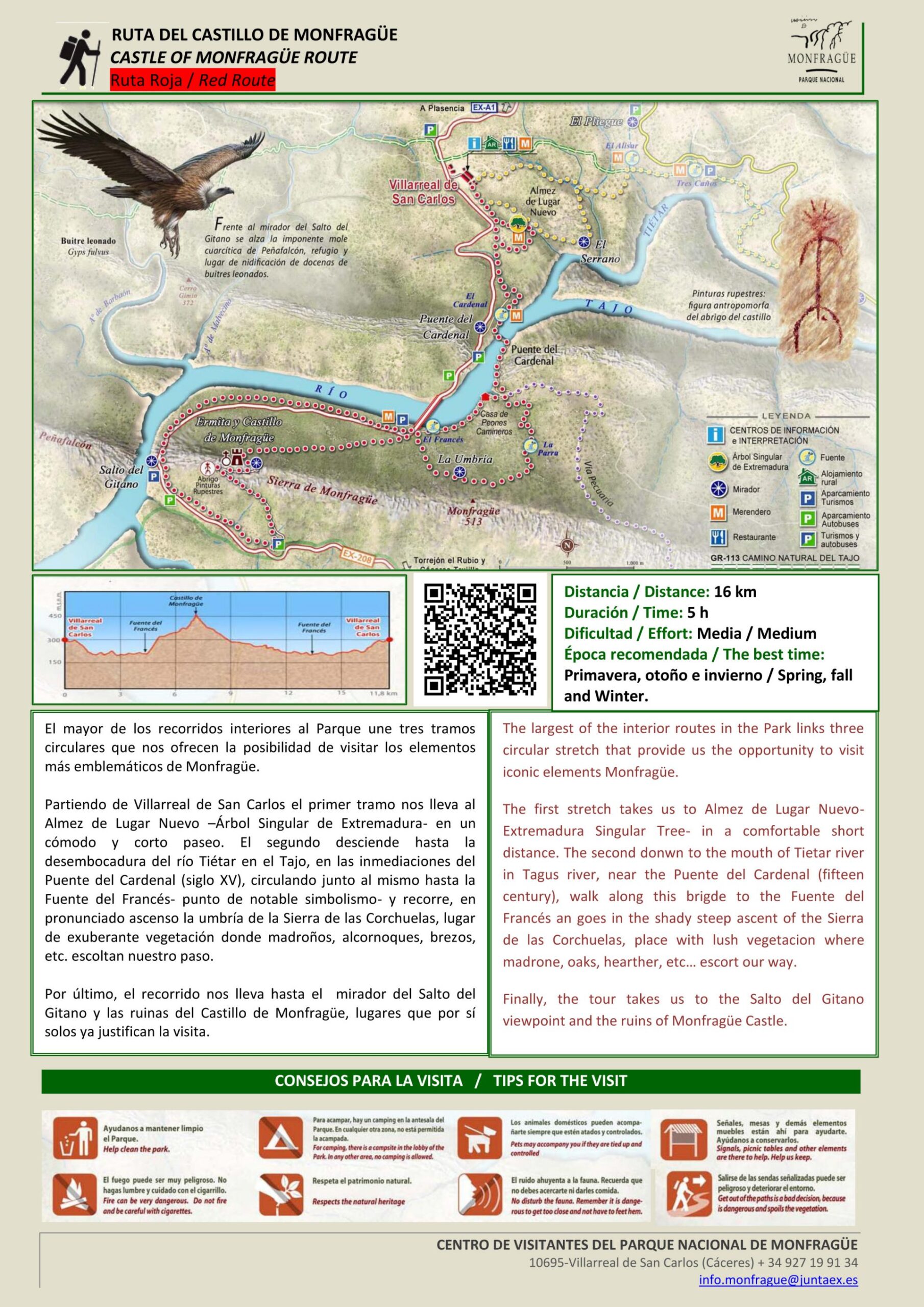
Distance: 16 km
Duration: Approximately 5 hours
Difficulty: Moderate
Start: Villarreal de San Carlos
Best time: Spring, autumn and winter
The Red Route, also known as the Monfragüe Castle Route, is one of the longest hiking trails within the National Park and one of the best ways to discover its natural and cultural diversity.
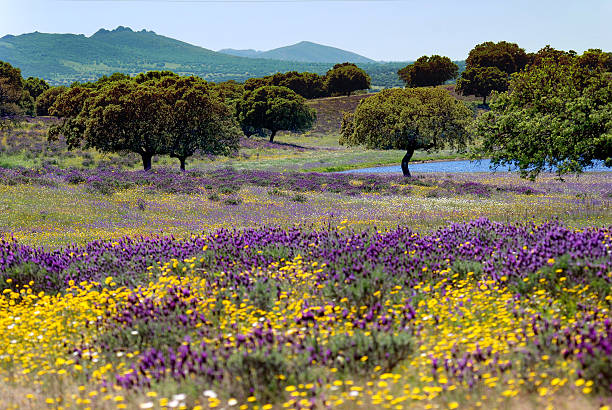
The route starts in Villarreal de San Carlos and links several sections that cross some of Monfragüe’s most representative ecosystems. Along the way, Mediterranean vegetation, shaded woodland, open areas, riverbanks, rocky cliffs and places of great historical interest alternate throughout the landscape.
The trail also includes some of the park’s best-known landmarks, such as Salto del Gitano and Monfragüe Castle, making it an especially complete route for anyone wishing to spend a full day exploring the area on foot.
Monfragüe Red Route step by step
Villarreal de San Carlos – Fuente del Francés
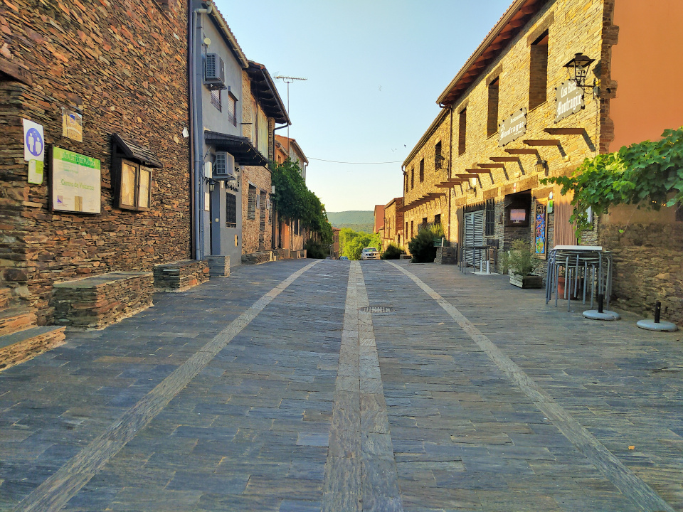
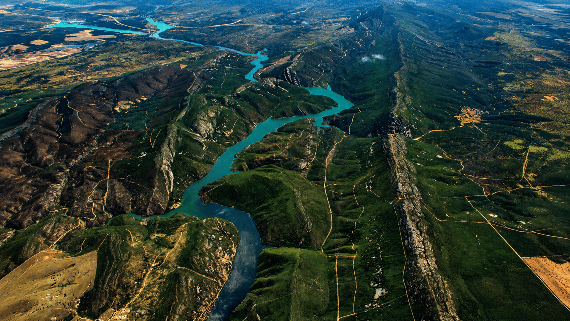
The route begins in Villarreal de San Carlos, the National Park’s main visitor and service hub. From here, the trail descends along an old livestock route towards the Tagus River.
During this first section, the path crosses an open landscape and passes traditional vegetable gardens and historic tracks. The route then continues towards Puente del Cardenal, one of the best-known historic structures in the park.
One important detail: depending on the reservoir water level, Puente del Cardenal may be submerged. When this happens, the official route follows an alternative via Puente Nuevo before continuing towards Fuente del Francés.
Fuente del Francés – Salto del Gitano
From Fuente del Francés begins one of the most pleasant sections of the route.
The trail runs close to the water through a shaded area with abundant Mediterranean vegetation and no major climbs. It gradually approaches Salto del Gitano, probably the most iconic viewpoint in Monfragüe.
From here, you can admire the impressive Peña Falcón, a huge rocky cliff overlooking the Tagus River and one of the main places for spotting birds such as griffon vultures, cinereous vultures, Egyptian vultures and black storks.
Salto del Gitano – Monfragüe Castle
After Salto del Gitano, the climb towards Monfragüe Castle begins.
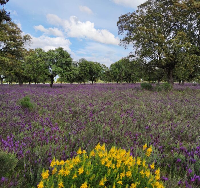
The trail climbs along the sunny side of Sierra de las Corchuelas, through holm oaks, Spanish lavender and wild olive trees. Although the gradient becomes noticeable in some sections, the path is well defined and the effort is rewarded when you reach the top.
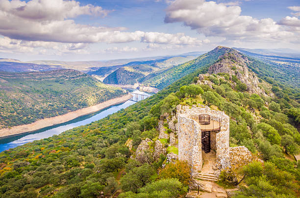
From the castle, you can enjoy one of the finest panoramic views in the National Park, overlooking the Tagus River, the surrounding mountain ranges and vast areas of Mediterranean woodland.
Tips for hiking the Monfragüe Red Route
Carry enough water. The route is long, so it is best not to rely solely on water sources along the trail.
Wear comfortable walking shoes. There are rocky paths, uneven sections and uphill stretches.
Bring binoculars. They are particularly useful at Salto del Gitano and other elevated viewpoints.
Check the condition of Puente del Cardenal. Reservoir levels may alter the usual route.
Avoid the hottest part of the day. This is especially important in late spring and summer.
Stay on the marked trails. You are inside a National Park, and some areas are particularly environmentally sensitive.